

You can find on this page the Los Angeles topographic map to print and to download in PDF. The Los Angeles elevation map present the topography, river and relief of Los Angeles in USA.

The Los Angeles topographic map shows elevation, hills and landforms in Los Angeles. This elevation map of Los Angeles will allow you to know topography, river and relief of Los Angeles in USA. The Los Angeles topographic map is downloadable in PDF, printable and free.
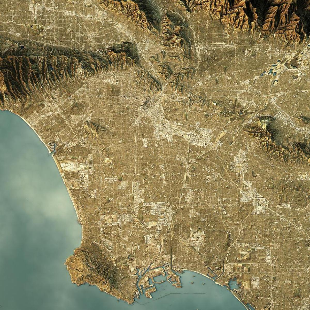
Los Angeles elevation map covers an area of 1,290.6 km2 (of which 75.7 km2 or 5.86% are water bodies). The longest north-south distance in Los Angeles is 71 km, the east-west distance is 47 km; the total perimeter is 550 km. According to the U.S. Census Bureau, Los Angeles is the seventh largest city in the nation in terms of area among cities with populations over 100,000. The maximum elevation in Los Angeles is 1,548 meters at Sister Elsie Peak.
Los Angeles elevation map shows a vast and varied geographic entity. Los Angeles includes a group of inland valleys, a coastal plain separated by low mountains that are interspersed with steep passes, an arc of still higher mountains, and a long seacoast. Nearly half of Los Angeles is taken up by mountain chains most of them running east-west that have a dynamic elevation history of earthquakes, firestorms, and mud slides.
Los Angeles is both flat and hilly. The highest elevation point in the city is 5,074 ft (1,547 m) Mount Lukens, located at the northeastern end of the San Fernando Valley as its shown in Los Angeles elevation map. Los Angeles extends for 44 miles (71 km) longitudinally and for 29 miles (47 km) latitudinally.